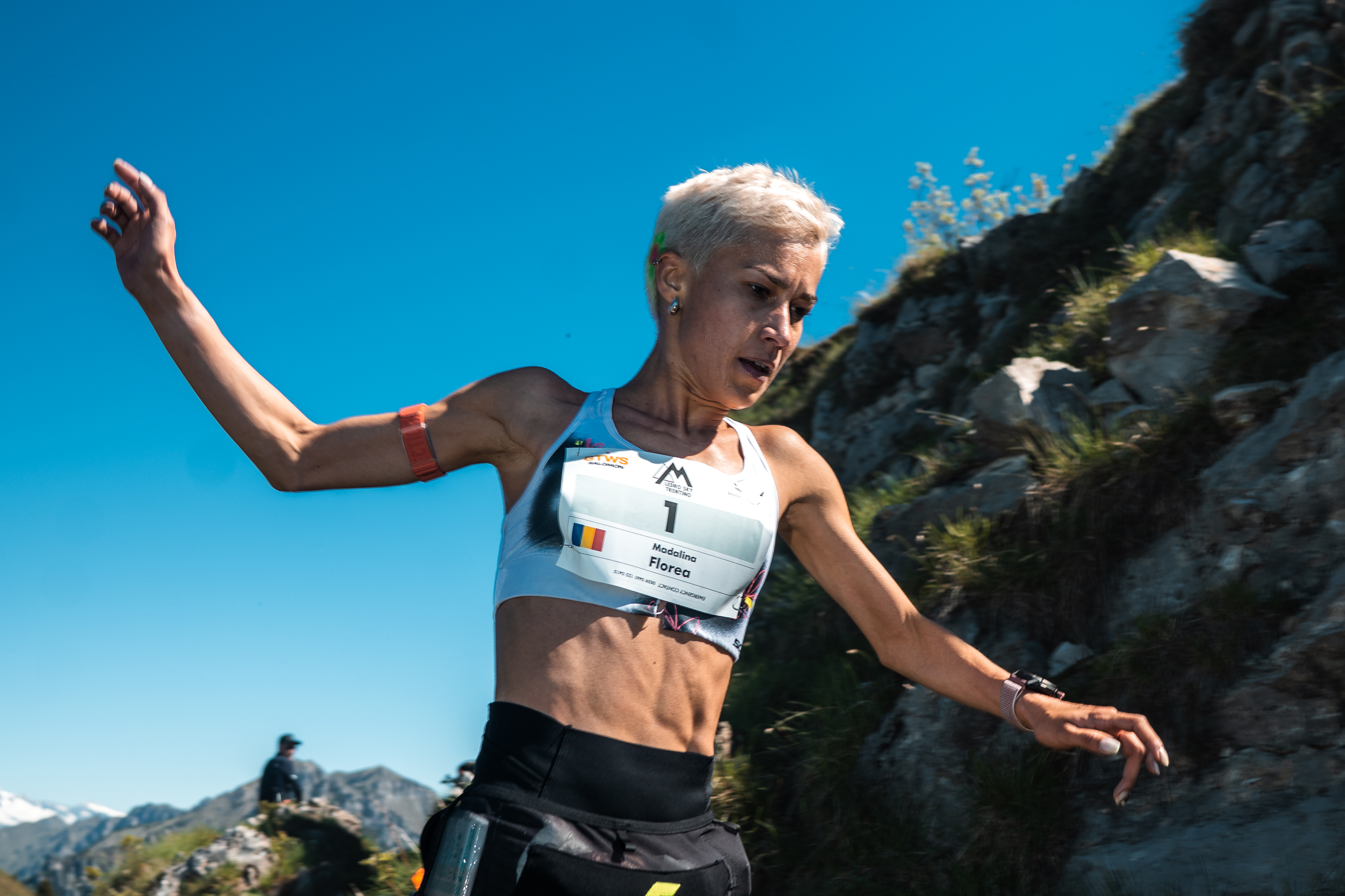
/filters:quality(90)/fit-in/970x750/coros-web-faq/upload/images/539fb9eb0de823cacc0dfca53ebff9ba.png)
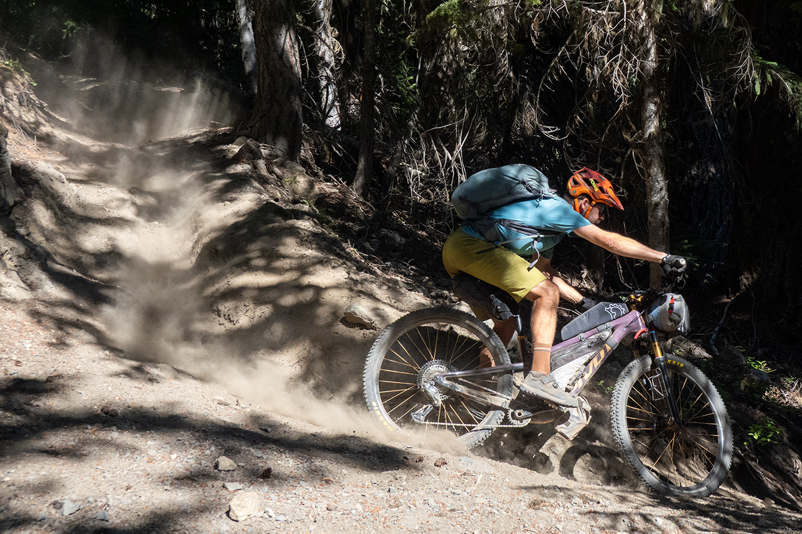
Long-distance mountain bike routes are rare. Singletrack-focused ones are rarer still. That’s part of what drew Kurt Refsnider to the newly developed Orogenesis Trail. It's a rugged, 3,000-mile backcountry route that spans the spine of the Pacific Coast from Canada to Mexico. Add in the 1,600-mile Baja Divide extension, and you get an unrelenting, mostly off-road adventure stretching nearly 5,000 miles.
A Trail Unlike Any Other
“I gravitate heavily toward big backcountry singletrack adventures,” Refsnider explained, “and that's exactly what the Orogenesis Collective has strived to create in the brand new Orogenesis trail.” As the first person to through-ride the full U.S. route, he was uniquely positioned to test the trail’s viability and vision.
Orogenesis is the result of a vision for a North-South mountain bike corridor akin to the Pacific Crest Trail, but for riders. About half the U.S. portion is singletrack. “It's a beast of a don't-even-think-about-bringing-your-gravel-bike route,” Refsnider said.
Planning the Unknown
Because the Orogenesis Trail is new, most of it had only been partially scouted. That meant Refsnider had to build his plan from the ground up. “There was next to no information about water sources, resupply options, or any of that,” he shared.
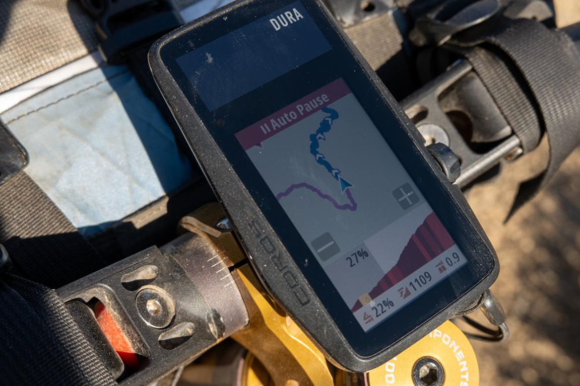
He spent dozens of hours mapping the trail in Ride with GPS, identifying terrain types, locating stores and backup water sources, and segmenting the route into manageable sections. “By the end of that planning process, I had a couple dozen GPS tracks with hundreds of POIs (Points of Interest) that got transferred to my DURA for easy navigation and planning along the way.”
Navigating With DURA
Throughout the 4.5-month ride, Refsnider’s COROS DURA stayed mounted on his bike stem. He used it to follow the route line, keep track of POIs, and monitor the elevation profile. “Navigation following that route line... was absolutely brainless,” he said. “The elevation profile colored in by slope gradient kept me apprised of what the terrain coming up was like to help out with planning on an hour-by-hour basis.”
He also used the DURA to monitor time until sunset, total daily climbing, and progress. While he didn’t rely on power data during the ride itself, he synced his 4iiii power meter to track long-term Training Load. “Having some data to help convince me that I really am as tired as I might feel... can be particularly helpful,” he noted.
Adaptation on the Fly
Despite the route’s infancy, Refsnider’s journey went remarkably smoothly. No major mechanical failures. Not even a flat tire. “The route itself was fantastic and is 99% ready for public consumption,” he said.
Where issues arose—weather, wildfire closures, deadfall-covered trails—he adapted using the tools he had. Offline maps, quick re-routes, and the COROS app made problem-solving efficient. “That was always easy with offline maps or creating a detour in Ride with GPS and instantly sending it over to the DURA via the COROS app.”
Start Your Own Adventure
One key takeaway came from a friend’s advice before the trip: “Expect the unexpected and don't have a purist mindset.” Refsnider echoed that sentiment. “That squiggly line may not be the best way through. It might not actually be passable at all in places. Or it might just be ridiculously difficult. But that just guarantees that it’s going to be an adventure.”
While few riders will take on the Orogenesis Trail in a single ride, Refsnider encourages everyone to experience part of it. “Smaller adventures can be just as exciting and personally impactful as big ones,” he said. “Never feel like you can't experience something like Orogenesis if you've only got a week.”